Reconstructing American Civil War battlefields through terrain analysis, primary sources and on-site research
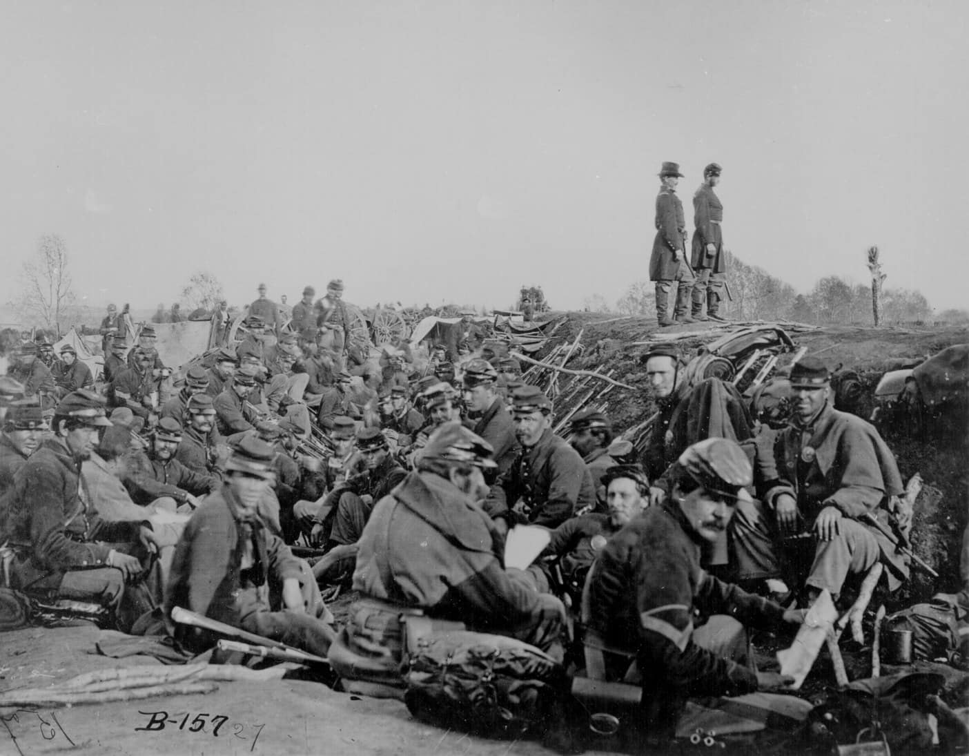
Walking the battlefields of the American Civil War (1861-1865)
Origins of the war
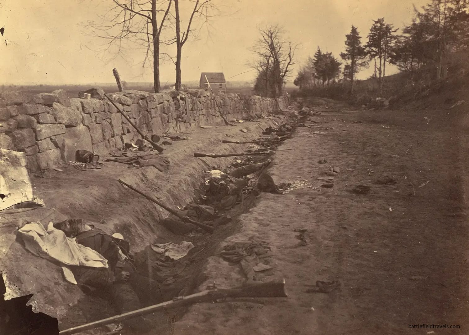
The American Civil War (1861–1865) was a continental-scale conflict fought across an extraordinary range of landscapes — rolling farmland, dense forests, mountain passes, river valleys, coastal fortifications, swamps, rail hubs and vast open plains. Shaped at the highest levels by questions of slavery, union, strategy and industrial capacity, the war was ultimately decided on the ground: by infantry regiments advancing through choke points in the Wilderness, artillery massed on commanding heights like Cemetery Ridge and Missionary Ridge, and commanders making decisions amid dust, smoke, noise and often limited visibility.
The theatres
No two theatres were alike:
- In the Eastern Theatre, armies manoeuvred across a compact corridor between the capitals at Washington and Richmond, fighting along ridges, rivers and road networks that constrained movement and amplified the importance of terrain — from the stone walls of Fredericksburg and the bold manoeuvres of Chancellorsville to the tangled undergrowth of the Wilderness.
- In the Western Theatre, vast distances, river systems and rail junctions shaped operations from Shiloh to Vicksburg, Chattanooga, Franklin and Atlanta. The great manoeuvre campaigns of Grant and Sherman unfolded across broken ridgelines, mountain gaps and deep river crossings that dictated tempo, supply, and the ability to concentrate force.
- In the Trans-Mississippi, from the early battles at Wilson’s Creek and Pea Ridge, on the plains of Arkansas to the bayous of Louisiana, terrain and climate dictated a very different style of warfare, marked by dispersed forces, irregular operations and complex logistics.
This collection of battlefield studies approaches the war through a modern, terrain-focused lens. Each article integrates period maps, contemporary sketches, first-hand accounts, geological features, environmental constraints and detailed on-site reconnaissance. By walking the ground — from the open ridges of Gettysburg to the sunken lanes of Antietam, the steep slopes of Lookout Mountain, the ravines of Chickamauga and the trenches of Petersburg — these studies illuminate the relationships between landscape, doctrine, weapons, command culture, and tactical outcomes.
Methodology
The methodology applied across these studies examines the match between terrain and manoeuvre, visibility and fields of fire, the use of cover and obstacles, command-and-control limitations, and the role of railroads, rivers, fords, ferries and urban terrain. Whether your interest lies in the intense attrition battles of the East, the sweeping operational campaigns of the West, or the lesser-known engagements across the far reaches of the conflict, these battlefield studies offer clear, ground-truth insights into how and why the Civil War unfolded as it did.
I have walked the ground on more than fifty Civil War battlefields. New studies will appear here as they are completed and published.
Explore the American Civil War:
[Battle Studies] · [Weapons & Equipment] · [Recommended Reading] · [Quiz]
American Civil War Battlefield Studies
In-depth battlefield analyses based on terrain, primary sources, and on-the-ground exploration.
-
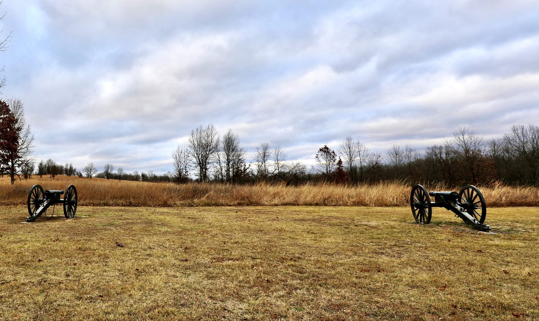
⚔️ Battle of Wilsons Creek, Missouri,
10 August 1861
The Battle of Wilson’s Creek, Missouri, on 10 August 1861, was the second major battle of the American Civil War (after 1st Bull Run) and the first major battle west of the Mississippi. After a decade of conflict between pro-slavery and anti-slavery factions along the Kansas-Missouri border, there was already a long history of enmity,…
-
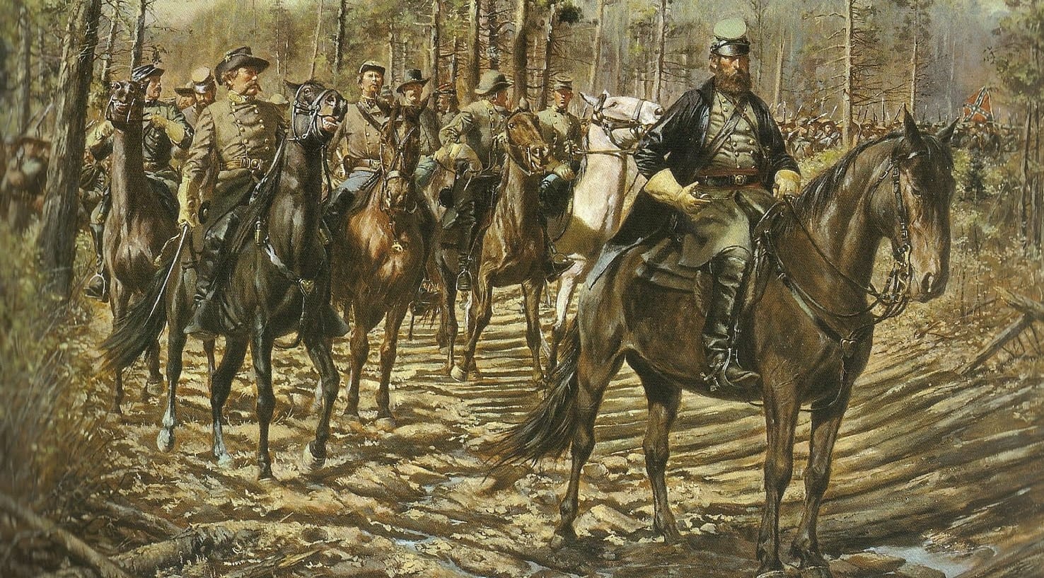
⚔️ Battle of Pea Ridge, Arkansas,
7-8 March 1862
The Battle of Pea Ridge, fought from 7-8 March 1862 in northwestern Arkansas, was a pivotal engagement in the American Civil War. This battle was crucial for control of Missouri and the Trans-Mississippi theater. Brigadier-General Samuel R. Curtis led the Union Army of the Southwest into Arkansas after pushing Confederate forces out of Missouri. In…
-
⚔️ Battle of Chancellorsville, Virginia,
27 April – 6 May 1863
After the disastrous Battle of Fredericksburg in December 1862, President Lincoln replaced General Ambrose Burnside with General ‘Fighting’ Joe Hooker. Hooker’s army of about 134,000 Federal troops on the north side of the Rappahannock River faced about 60,000 Confederate troops under General Robert E. Lee on the south side. Hooker’s plan was bold. In response,…
-
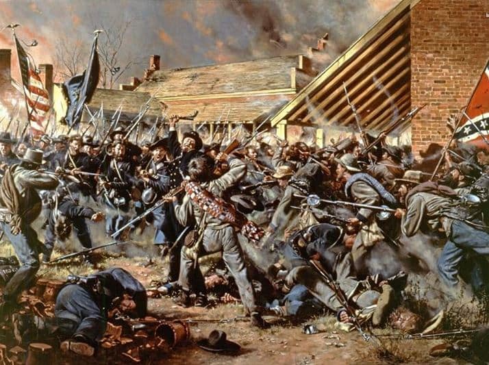
⚔️ Battle of Franklin, Tennessee,
30 November 1864
On the evening of 30 November 1864, Gen. John Bell Hood hurled his Army of Tennessee against entrenched Union forces at Franklin, Tennessee. Five hours of brutal fighting cost the Confederacy thousands of casualties and some of its finest generals. This battlefield study examines the strategy, terrain, and leadership decisions that made Franklin a decisive…

American Civil War Field Notes
Short-form observations, terrain insights, and working interpretations from the field. Some posts require access.

Authored by Mick Prictor, a retired military officer with 40 years’ service, and a military historian specialising in terrain-focused analysis of tactics, doctrine, and command decision-making in land warfare. His work draws on extensive battlefield fieldwork—more than 280 sites worldwide—and one of the world’s largest private collections of historic military arms, uniforms, and equipment. About me
⚔️ Go deeper — Members get exclusive access to the Deep Research Collection, Field Notes, and monthly Research Dispatches. Try membership free for 7 days, cancel anytime. From $9/month.
Explore Related Themes
Armies: Union Army • Confederate Army
Commanders: Ulysses S Grant • Robert E Lee
Methods: Encounter Battle • Envelopment • Siege
Environments: Forest Warfare • Mountain Warfare • Riverine operations
Further Study: American Civil War Reading List
Related Battle Studies, Museum Pieces & Reading Resources
 ⚔️ Battle of Franklin, Tennessee,
30 November 1864
 🏛️ American Civil War (1861–1865) Weapons and Equipment
 ⚔️ Battle of Chancellorsville, Virginia,
27 April – 6 May 1863
 ⚔️ Battle of Pea Ridge, Arkansas,
7-8 March 1862
 ⚔️ Battle of Wilsons Creek, Missouri,
10 August 1861
 📚 American Civil War (1861–1865),
Recommended Reading
Each study uses terrain analysis, period maps and on-site research to show how ground, movement and command decisions shaped the battle.
It includes major Eastern and Western battles and can expand as new studies — such as Gettysburg, Antietam or Shiloh — are added.
Yes. Many key sites, including Gettysburg, Antietam and Shiloh, are preserved as national parks with extensive interpretation.
Each study integrates period cartography, historical sources and field reconnaissance to provide clear, evidence-based terrain insight.
Subscribe to Battlefield Travels and receive a free E-Book Battlefield Guide
Unlock expert battlefield analysis, campaign reconstructions, and historical insights drawn from firsthand exploration and primary sources.
🗺️ You’ll receive:
🎖️ Exclusive historical insights you won’t find elsewhere
📘 A free eBook: 10 Tips for Exploring Historic Battlefields
📰 New battlefield studies straight to your inbox as they are published

⚔️ Go deeper — Members get exclusive access to the Deep Research Collection, Field Notes, and monthly Research Dispatches. Try membership free for 7 days, cancel anytime. From $9/month.