This Field Note is part of the growing GUADALCANAL CAMPAIGN battlefield series, as I capture my July/August 2026 exploration of the battlefields. Explore the full series: Beach Red landings 7 Aug 42 ◊ Battle for Tulagi Island 7-8 Aug 42 ◊ Battle for Gavutu & Tanambogo Islands 7-9 August 1942 ◊ Goettge Patrol Incident, 12-13 August 1942 ◊ First Battle of the Matanikau, 18-19 August 1942 ◊ Battle of the Tenaru (Alligator Creek), 21 August 1942 ◊ Battle of Edson’s Ridge (Bloody Ridge), 12-14 September 1942 ◊ Second Battle of the Matanikau, 23-27 September 1942
Table of Contents
- The ill-fated Goettge Patrol
- Situation
- 🔒Forces and Commanders
- 🔒The Goettge Patrol
- 🔒Retribution
- 🔒Terrain and decision analysis
- 🔒Ground Observations
- 📚 Further Reading – World War Two
The ill-fated Goettge Patrol
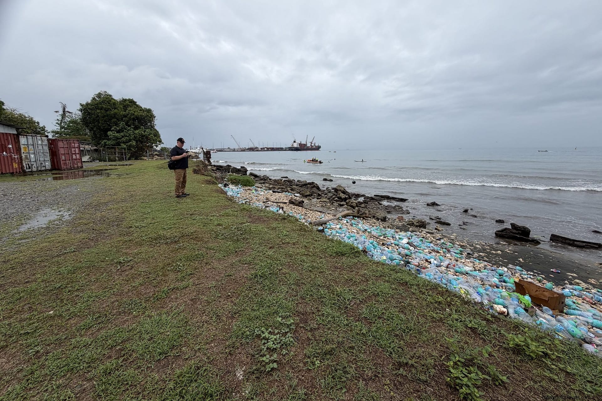
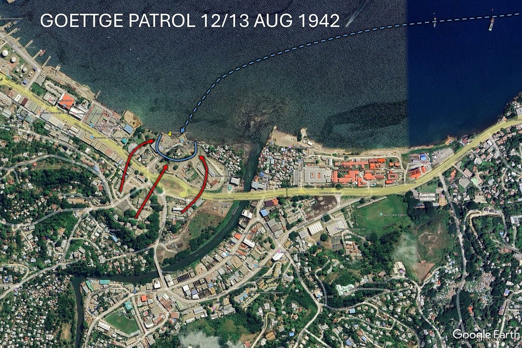
August 2026, at the mouth of the Matanikau River. I am exploring the sites associated with the ill-fated ‘Goettge Patrol’ of 12-13 August 1942. The action happened over a very small area encompassing the beachline just west of the mouth of the Matanikau, near the old village of Matanikau, which is now overrun by urban sprawl. In 1942 the jungle extended all the way to the beach and there was very little settlement in the area. The area today is occupied by small businesses, parking lots, and dilapidated buildings. The actual beach site is, unfortunately, covered in trash, especially plastic water bottles, that wash down the Matanikau and get deposited on the beaches.
Situation
Where were the Japanese garrison?
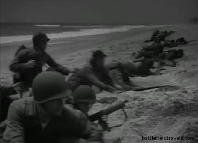
After the landing at Beach Red on 7 August 1942, the 1st Marine Division moved quickly to secure the unfinished airfield at Lunga Point. The airfield was secured by the afternoon of 8 August, but the site was deserted. The Japanese had clearly departed in a hurry and left much of their equipment behind. Over the following days, the Marines were subjected to a rapid air and naval response by the Japanese forces. Japanese aircraft from Rabaul bombed the airfield and the ships standing offshore. On the night of 8/9 August, the US Navy suffered its worst defeat in history during the Battle of Savo Island. To preserve his scarce naval airpower, Admiral Fletcher withdrew his aircraft carriers out of range of the Japanese bombers. Without air cover, Admiral Turner also made the decision to withdraw the amphibious fleet from Guadalcanal.
Ashore, the Marines wondered what had happened to the hundreds of Japanese troops and several thousand labourers who had been working on the airfield. One of their first breakthroughs was the capture of a Japanese sailor who revealed that there was a large group of Japanese troops west of the Matanikau River who had no supplies and would be willing to surrender
A patrol beyond the Matanikau
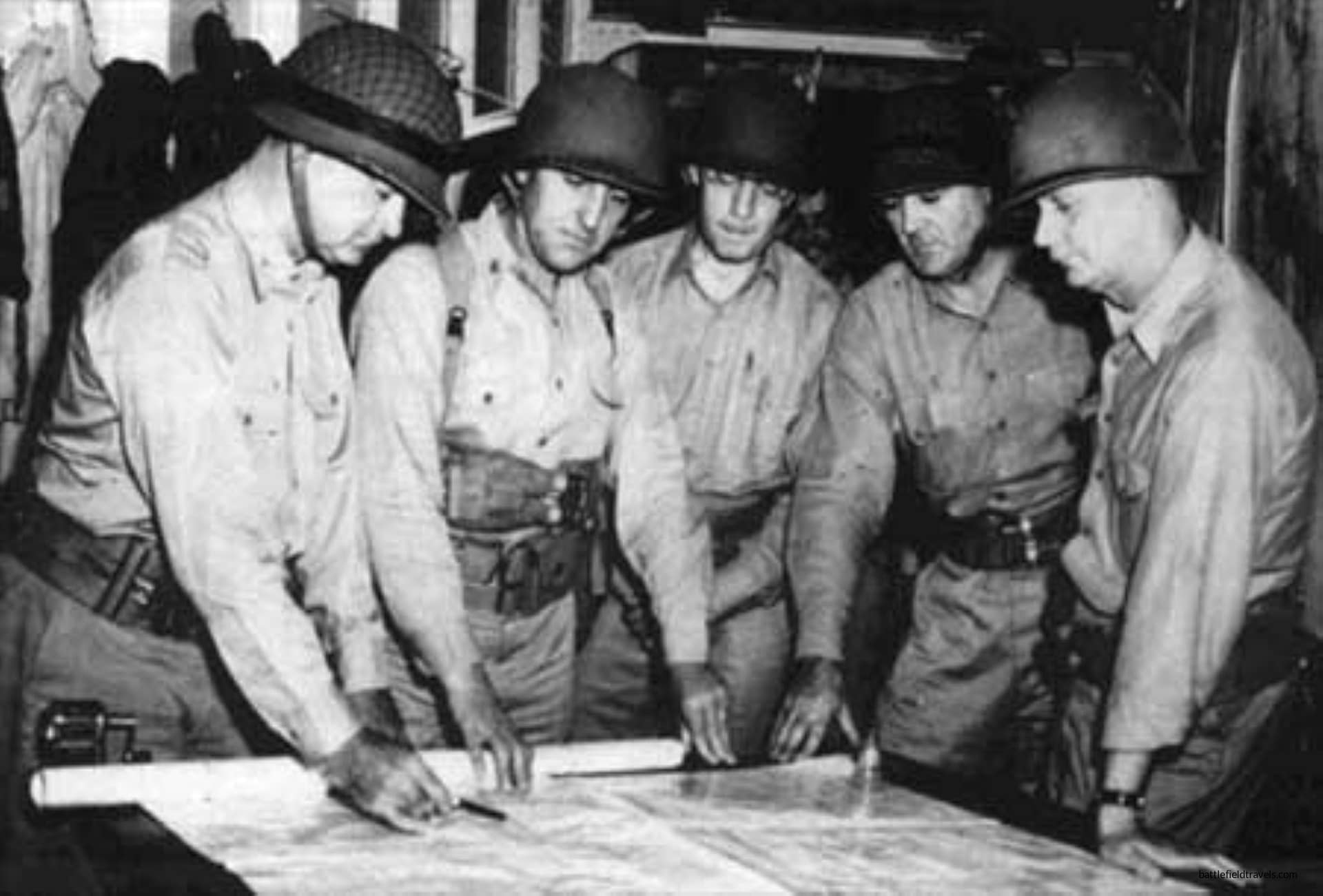
On 12 August, Marine patrols reported seeing a white flag in the region of the Matanikau River. Together with the information provided by the prisoner, the Divisional staff saw an opportunity to potentially eliminate the remaining Japanese threat on Guadalcanal.
At this time, the perimeter around Kukum and the airfield was still a series of outposts rather than a fixed line. The ground west of the perimeter, toward the Matanikau River and Point Cruz, was not secured by American troops. It was into this unknown ground, at night, by boat, that a Marine patrol would be sent on the strength of a single interrogation. The objective area was roughly four and a half miles west of Kukum by water: a stretch of coast either side of the Matanikau’s mouth, with Point Cruz as the reference point and thick jungle running down almost to the beach.
👉 Continue reading — full Field Notes include terrain analysis, additional imagery, and working interpretations beyond the published study. Try membership free for 7 days.

Authored by Mick Prictor, a retired military officer with 40 years’ service, and a military historian specialising in terrain-focused analysis of tactics, doctrine, and command decision-making in land warfare. His work draws on extensive battlefield fieldwork—more than 280 sites worldwide—and one of the world’s largest private collections of historic military arms, uniforms, and equipment. About me
📚 Further Reading – World War Two
This battle study nests within the broader analytical framework explored in the Research Hub, where operational methods, operating environments, armies, commanders, and weapons are examined across conflicts and eras. The links below connect related studies across the wider body of battlefield analysis on the BattlefieldTravels site.
⚔️ Explore all battle studies from World War Two 1939-1945
🏛️Explore the museum of World War Two historic artefacts
The book list for this conflict includes the finest campaign studies, memoirs, and operational analyses available on the D-Day landings, selected specifically to complement this battlefield study.
📚World War Two – Recommended Reading
🗞️ For updates on new battlefield studies and research insights, you can subscribe to the Newsletter.
Subscribe to Battlefield Travels and receive a free E-Book Battlefield Guide
Unlock expert battlefield analysis, campaign reconstructions, and historical insights drawn from firsthand exploration and primary sources.
🗺️ You’ll receive:
🎖️ Exclusive historical insights you won’t find elsewhere
📘 A free eBook: 10 Tips for Exploring Historic Battlefields
📰 New battlefield studies straight to your inbox as they are published

⚔️ Go deeper — Members get exclusive access to the Deep Research Collection, Field Notes, and monthly Research Dispatches. Try membership free for 7 days, cancel anytime. From $9/month.