Reconstructing War of 1812 battlefields through terrain analysis, primary sources and on-site research

Walking the battlefields of the War of 1812
Origins of the war
The War of 1812 (1812–1815) was a complex, multi-theatre conflict fought between the United States, the British Empire, Canadian militia forces and Indigenous nations whose alliances and strategic decisions shaped the course of the war. Often overshadowed by the Napoleonic Wars happening simultaneously in Europe, the War of 1812 unfolded across thousands of kilometres of forests, lakes, rivers and coastal regions in North America, where geography, small armies and rapid movements produced intensely contested campaigns.
Theatres of war
Along the Canadian–American frontier, the war opened with U.S. invasions aimed at securing Upper and Lower Canada. Early actions at Detroit, Queenston Heights and York highlighted the importance of river crossings, militia mobilisation and the decisive role played by Indigenous warriors under leaders such as Tecumseh. As the conflict intensified, battles around the Niagara Peninsula — including Stoney Creek, Chippawa, Lundy’s Lane and Fort Erie — developed into hard-fought engagements where both sides struggled for control of key roads, ridges and fortified positions. An 1813 American advance on Montreal was blunted at the battles of Chateauguay and Crysler’s Farm.
To the west, fighting spread across the Great Lakes and the vast interior regions between Lake Erie and the Mississippi River. Control of the lakes became a strategic priority, leading to major naval actions such as the Battle of Lake Erie, where American victory reshaped the theatre and enabled the recapture of Detroit and the pursuit of British and Indigenous forces into the Thames Valley.
On the Atlantic seaboard, the war took a different form. British naval supremacy allowed raids along the coast, culminating in the 1814 assault on Washington, including the burning of public buildings. Yet American forces successfully defended key positions such as Baltimore, where the stand at Fort McHenry inspired the Star-Spangled Banner.
Final battles
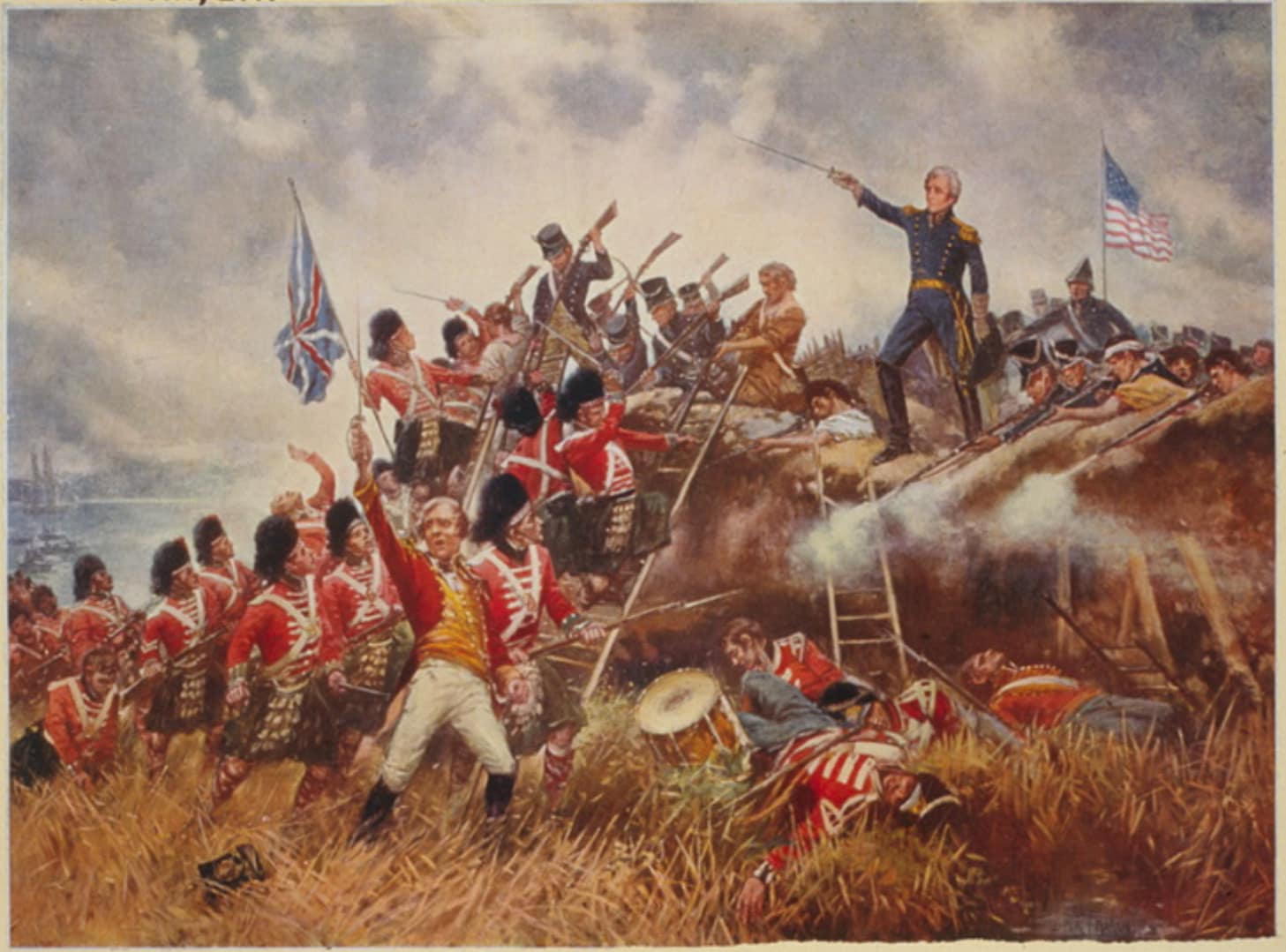
The war’s final major action occurred far to the south at New Orleans, where Andrew Jackson’s mixed force of regulars, militia, free men of colour and frontiersmen repelled a seasoned British army in one of the conflict’s most dramatic battles — fought after the peace treaty had already been signed.
This collection of battlefield studies examines these diverse campaigns through period maps, contemporary accounts and on-site exploration, revealing how geography, logistics, alliances and leadership shaped the war’s shifting fortunes.
Battle Studies in the War of 1812
Below are all current BattlefieldTravels studies for the War of 1812, covering key battles, campaign phases and associated sites. New studies are added as further battlefields are walked and analysed.
-
⚔️ Battle of New Orleans, Louisiana,
08 January 1815
The Battle of New Orleans was a brief but memorable encounter between American regular and volunteer forces under Andrew Jackson, and a regular British force under General Pakenham. What the combatants didn’t know was that the peace treaty to end the war had been signed prior to the battle.

Authored by Mick Prictor, a retired military officer with 40 years’ service, and a military historian specialising in terrain-focused analysis of tactics, doctrine, and command decision-making in land warfare. His work draws on extensive battlefield fieldwork—more than 280 sites worldwide—and one of the world’s largest private collections of historic military arms, uniforms, and equipment. About me
⚔️ Go deeper — Members get exclusive access to the Deep Research Collection, Field Notes, and monthly Research Dispatches. Try membership free for 7 days, cancel anytime. From $9/month.
Explore Related Themes
Armies: American Army • British Army • Canadian Army
Commanders: Andrew Jackson • General Pakenham • Jean Lafitte
Methods: Oblique Order • Envelopment • Siege
Environments: Forest Warfare • Mountain Warfare
Further Study: War of 1812 Reading List
The page covers the Canadian–American frontier, Great Lakes naval campaigns, Atlantic coastal raids and southern battles such as New Orleans.
Studies include New Orleans, with future coverage planned for Detroit, Queenston Heights, Lundy’s Lane, Fort Erie, Lake Erie, Baltimore and other key engagements.
It shaped national identities in the United States and Canada, influenced Indigenous sovereignty, and marked the final Anglo-American conflict before lasting peace.
Dense forests, rivers, ridgelines and lakes dictated movement, supply and defensive positions, making local knowledge and naval control crucial.
Many sites — including Queenston Heights, Fort Erie, Baltimore and New Orleans — retain key features and are preserved as national parks or historic sites.
Subscribe to Battlefield Travels and receive a free E-Book Battlefield Guide
Unlock expert battlefield analysis, campaign reconstructions, and historical insights drawn from firsthand exploration and primary sources.
🗺️ You’ll receive:
🎖️ Exclusive historical insights you won’t find elsewhere
📘 A free eBook: 10 Tips for Exploring Historic Battlefields
📰 New battlefield studies straight to your inbox as they are published

⚔️ Go deeper — Members get exclusive access to the Deep Research Collection, Field Notes, and monthly Research Dispatches. Try membership free for 7 days, cancel anytime. From $9/month.
